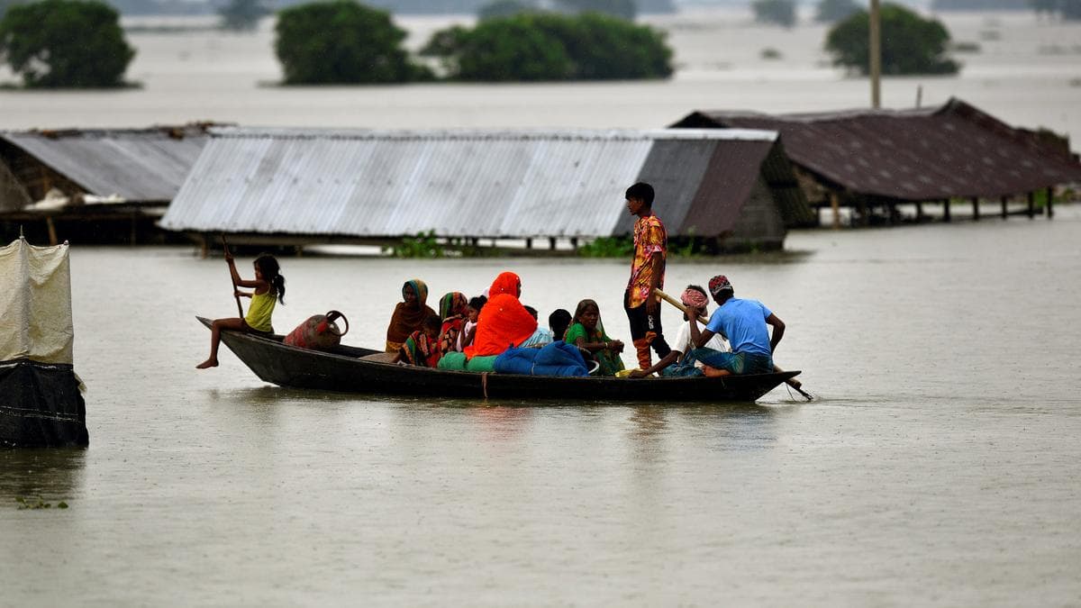
Built for the field.
Our IoT-Based Real-Time Flood Monitoring System is an intelligent, industrial-grade solution designed for continuous monitoring of river, dam, and drainage water levels in both urban and remote locations. The system delivers real-time water level and environmental data using a high-speed 5G/GSM communication network, enabling authorities to monitor flood conditions from a centralized dashboard.
To ensure uninterrupted operation during network outages or disasters, the system features a dual communication architecture. When GSM or internet connectivity becomes unavailable due to infrastructure damage or poor network coverage, the device automatically switches to LoRaWAN communication, providing reliable long-range data transmission. During field testing, the LoRaWAN network achieved a communication distance of approximately 2.5 km, with an estimated transmission capability of up to 12 km under suitable environmental conditions, making it ideal for remote and disaster-prone regions.
The monitoring unit incorporates industrial-grade ultrasonic water level sensors that are specifically designed for harsh outdoor environments. These sensors feature IP67-rated weather-resistant construction, internal temperature compensation for improved measurement accuracy, and support multiple output interfaces, including Analog, Serial, and Pulse Width, ensuring compatibility with a wide range of industrial monitoring systems.
System Installation & Testing
Watch the complete end-to-end process of bringing FloodEye to life. This footage captures our hardware technology, rigorous calibration tests, and the challenging field installation processes required to securely deploy sensor nodes in real-world flood zones.
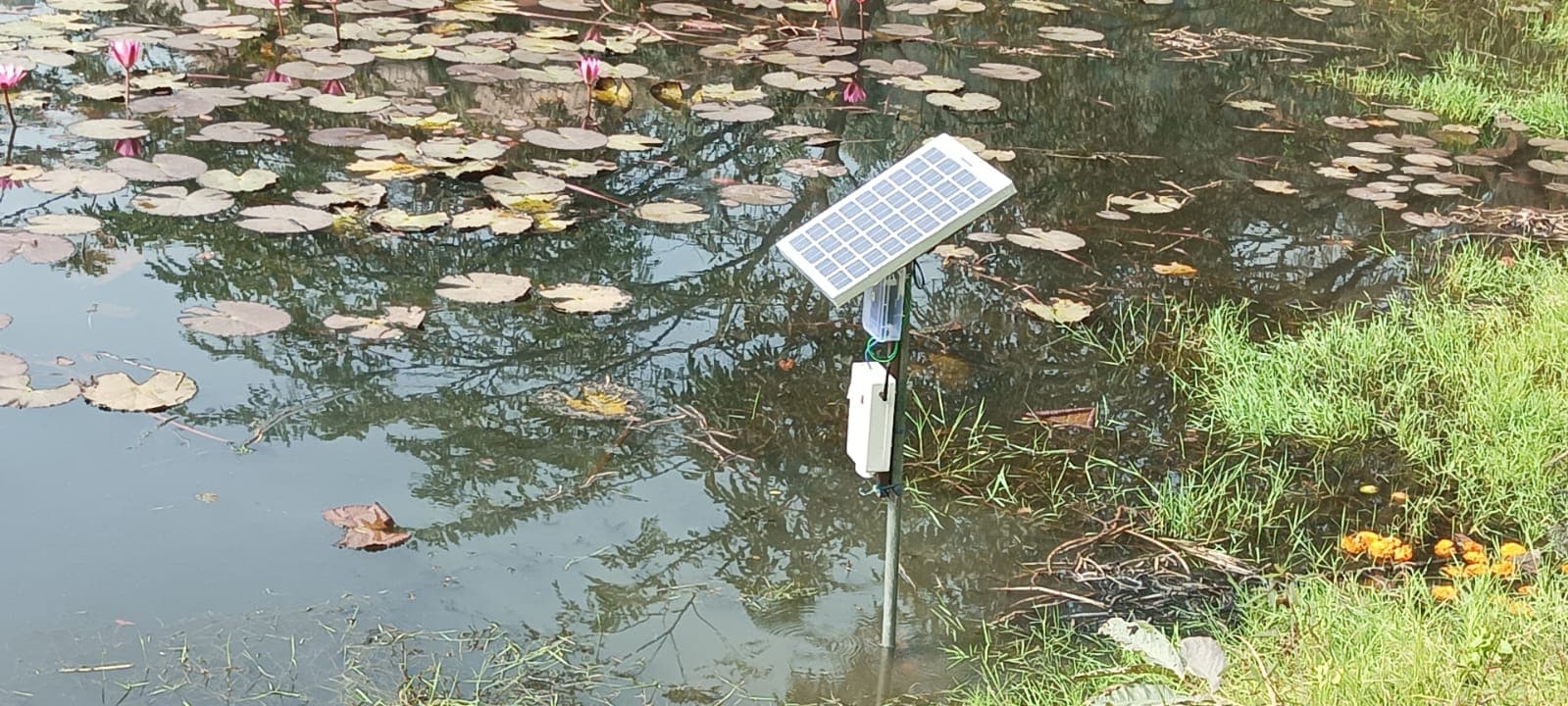
Solar-Powered Monitoring Node
The monitoring unit is deployed at the water's edge on a steel pole. A solar panel provides continuous power while the weatherproof enclosure houses all electronics. Suitable for rivers, dams, reservoirs, canals, bridges, urban drainage systems, and remote flood-prone locations.
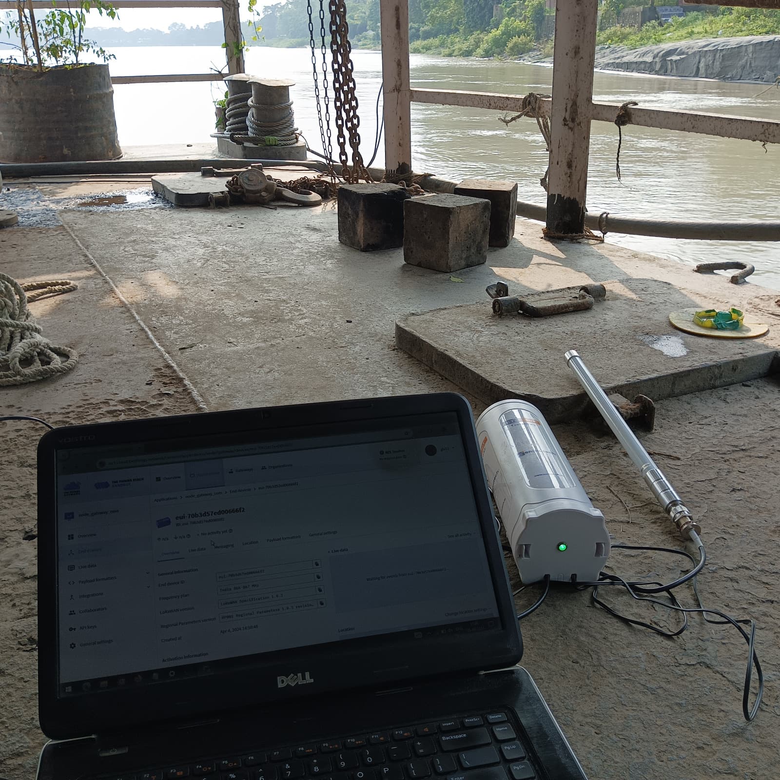
River-Site Calibration
Engineers verify sensor accuracy on-site at the river, comparing live ultrasonic readings with physical measurements. The industrial-grade ultrasonic water level sensor features IP67-rated weather-resistant construction and internal temperature compensation.
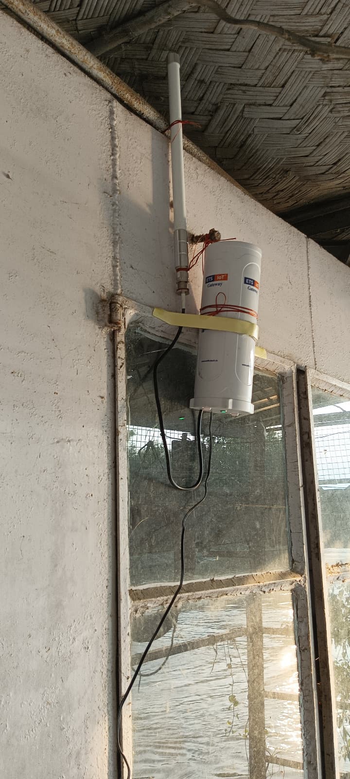
LoRaWAN Gateway
When GSM or internet connectivity is unavailable due to infrastructure damage, the device automatically switches to LoRaWAN — providing reliable long-range data transmission during disasters. The ETS IoT Gateway handles multi-node uplink aggregation and cloud forwarding.
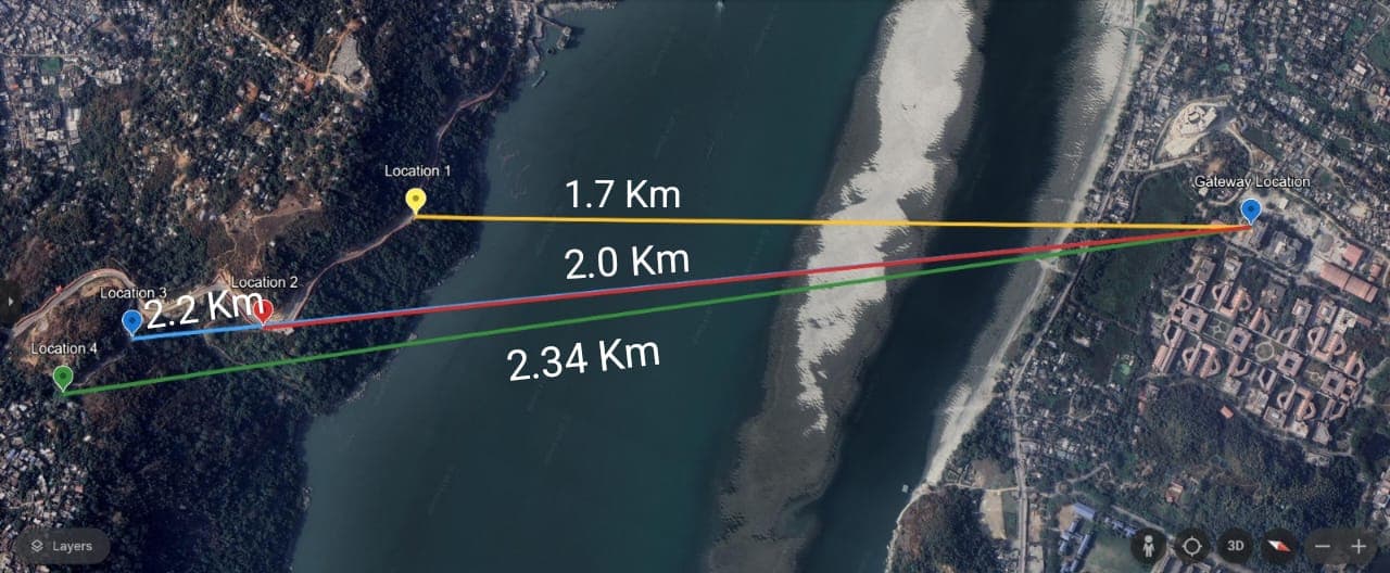
LoRaWAN Coverage Map
During field testing, the LoRaWAN network achieved a communication distance of approximately 2.5 km, with tested node distances of 1.7 km, 2.0 km, 2.2 km, and 2.34 km across the Brahmaputra River. Estimated transmission capability reaches up to 12 km under suitable environmental conditions — ideal for remote and disaster-prone regions.
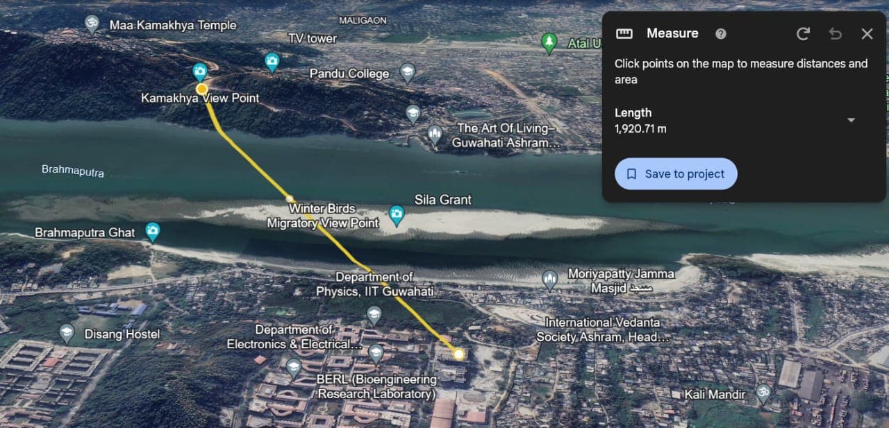
IIT Guwahati Trials
The Brahmaputra Ghat test site confirmed a LoRaWAN link distance of 1,920 mfrom IIT Guwahati's campus gateway to a sensor node near Kamakhya — across the full width of the river.
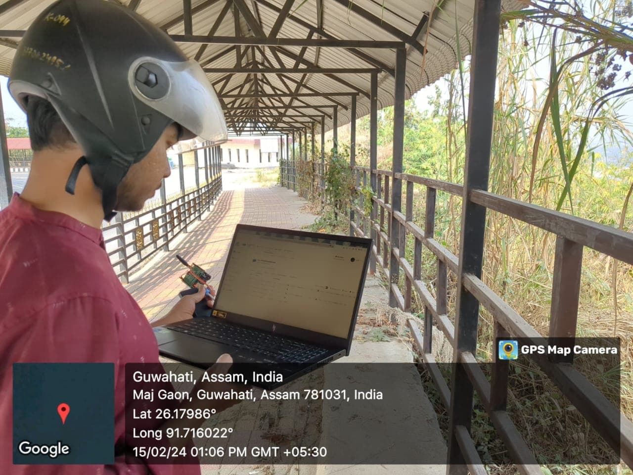
Field Testings
Our team conducted rigorous field trials across multiple locations in Guwahati, Assam. Each node placement was GPS-logged and validated for signal strength, data integrity, and end-to-end latency before final deployment. Comprehensive field verification ensures reliable performance under harsh monsoon conditions.
Field protocols included multi-point river cross-link telemetry audits, packet-loss stress testing during high precipitation, and verification of IP67 enclosure seals under continuous moisture exposure.
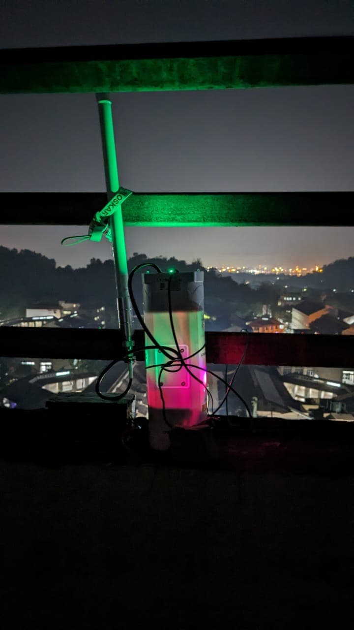
Night Monitoring
FloodEye operates continuously day and night. The system delivers real-time water level and environmental data using high-speed 5G/GSM, enabling authorities to monitor flood conditions from a centralized dashboard around the clock.
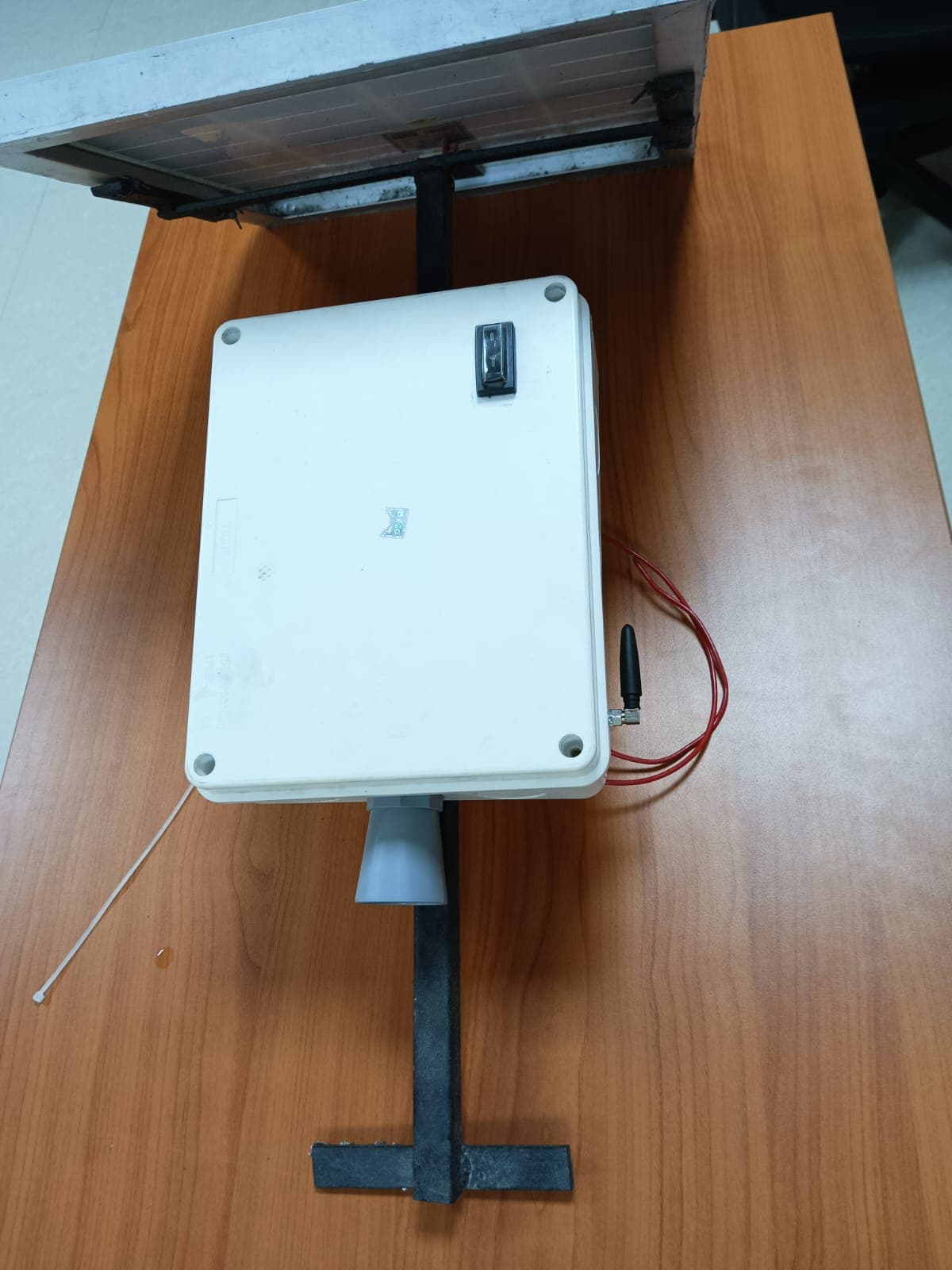
Weatherproof Case
Industrial-grade ABS enclosure houses the microcontroller, LoRa module, GSM unit, and power management electronics. Cable glands seal all sensor wires from moisture and dust ingress.
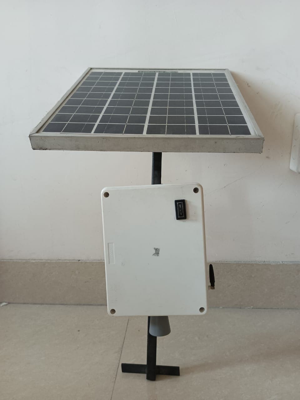
Solar Unit
Standalone monitoring station with integrated solar panel and sealed enclosure. Designed for unattended, continuous operation without relying on grid power infrastructure.
Key Features
- Real-time flood and water level monitoring.
- High-speed 5G/GSM communication for instant data transmission.
- Automatic LoRaWAN failover when cellular or internet networks are unavailable.
- Long-range wireless communication with tested coverage of approximately 2.5 km and potential transmission distances of up to 12 km under favorable conditions.
- Industrial-grade ultrasonic sensor with IP67 weather-resistant enclosure.
- Internal temperature compensation for accurate distance measurement.
- Multiple sensor output options: Analog, Serial, and Pulse Width.
- Cloud-based centralized monitoring dashboard with live data visualization.
- Real-time alerts and notifications for abnormal water level conditions.
- Suitable for rivers, dams, reservoirs, canals, bridges, urban drainage systems, and remote flood-prone locations.
Applications
- River Water Level Monitoring
- Flood Early Warning Systems
- Dam and Reservoir Monitoring
- Smart City Water Infrastructure
- Disaster Management and Emergency Response
- Remote Environmental Monitoring
- Irrigation Canal Monitoring
- Critical Infrastructure Protection
“Our solution is designed to provide reliable, continuous, and resilient flood monitoring, ensuring that critical water level information remains available even during communication failures or natural disasters.”